Aerial Photographs of Western New York
About the Collection
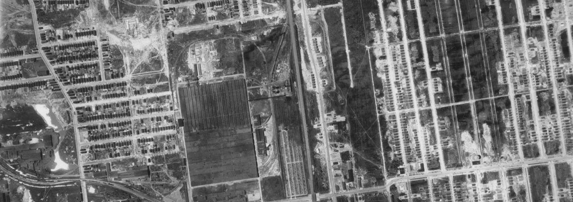
The University at Buffalo Western New York Aerial Photographs Collection contains more than 5,000 images covering Erie and Niagara counties from 1927 through 1978. The images were all part of systematic flights by Fairchild Aerial Surveys, Inc. and other producers.
This online collection contains 175 of these images. Please consult the Map Collection for more information.